Trip 5: Strathmore to Okotoks
A two-day Ground Boots run from Strathmore south to the Bow River, west along Hwy 547 to Okotoks and the Sheep River, out to the Okotoks Erratic, and home past the Highwood. It's the first trip where every photo was also checked by machine: plants through BeachBook's identifier, the rock through RockID with the mapped geology under it, and each river against Sentinel-2. The drive recorder logged phone signal the whole way, and a dashboard widget counted what went past the windshield.
Map signal + finds
Findings
Big Rock didn't come from here
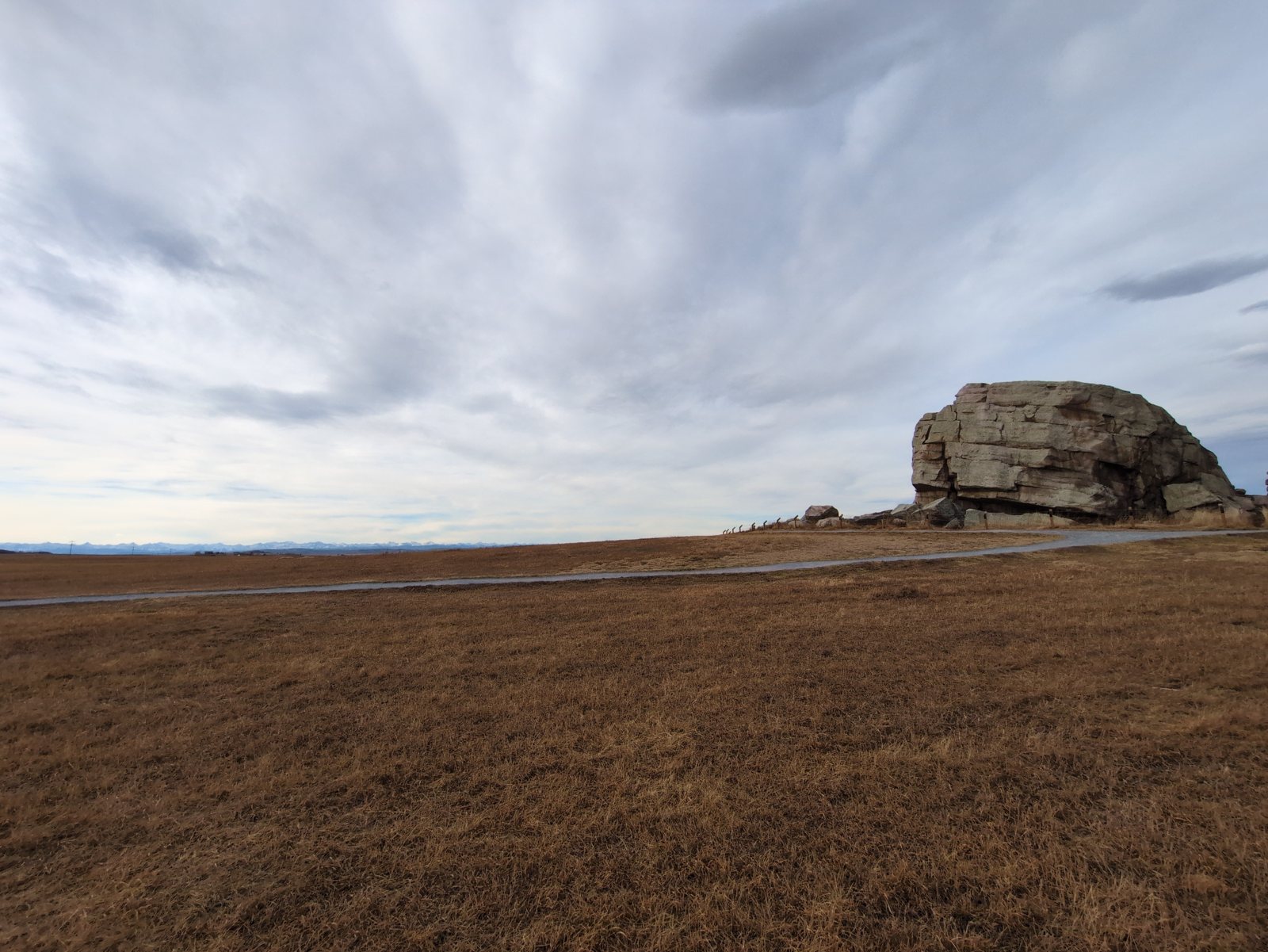
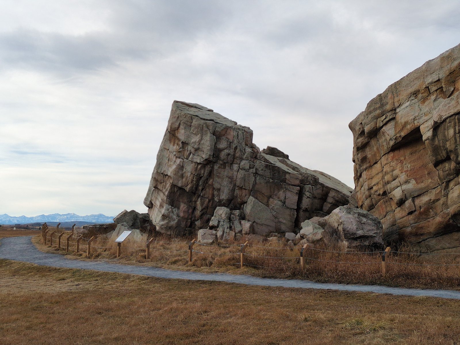
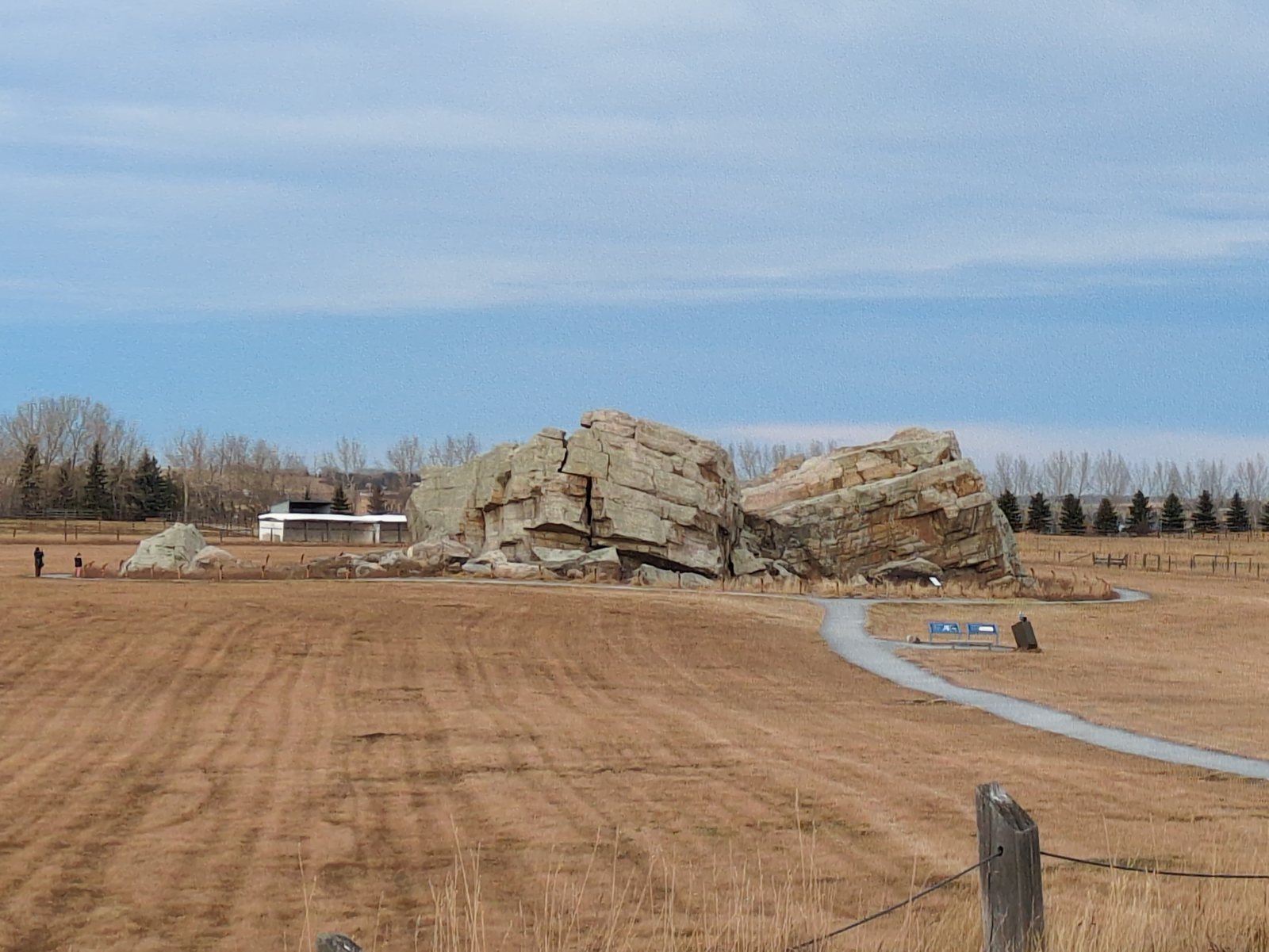
RockID read the close-up of the Okotoks Erratic as quartzite of the Gog Group. The mapped bedrock under the parking lot is the Porcupine Hills Formation (sandstone, siltstone, and mudstone, Paleogene (56–63.5 Ma)), from the Alberta Geological Survey map. Soft river sandstone can't produce a 16,500-tonne block of hard quartzite. The Gog Group crops out in the Rockies near Jasper, and the rock rode the Foothills Erratics Train out on glacial ice. That's the "carried in" verdict the stop asked for. The photo and the map reached it separately.
Three rivers, all open and flowing
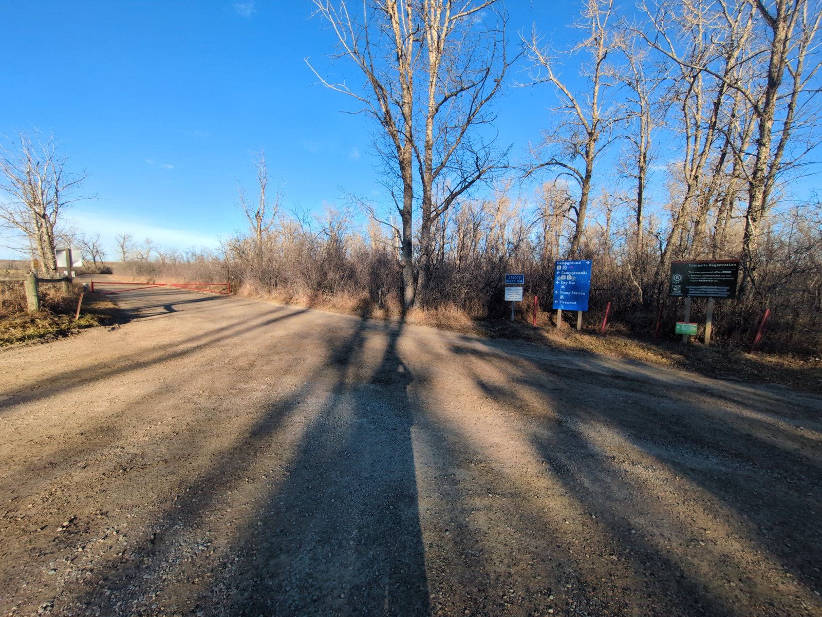
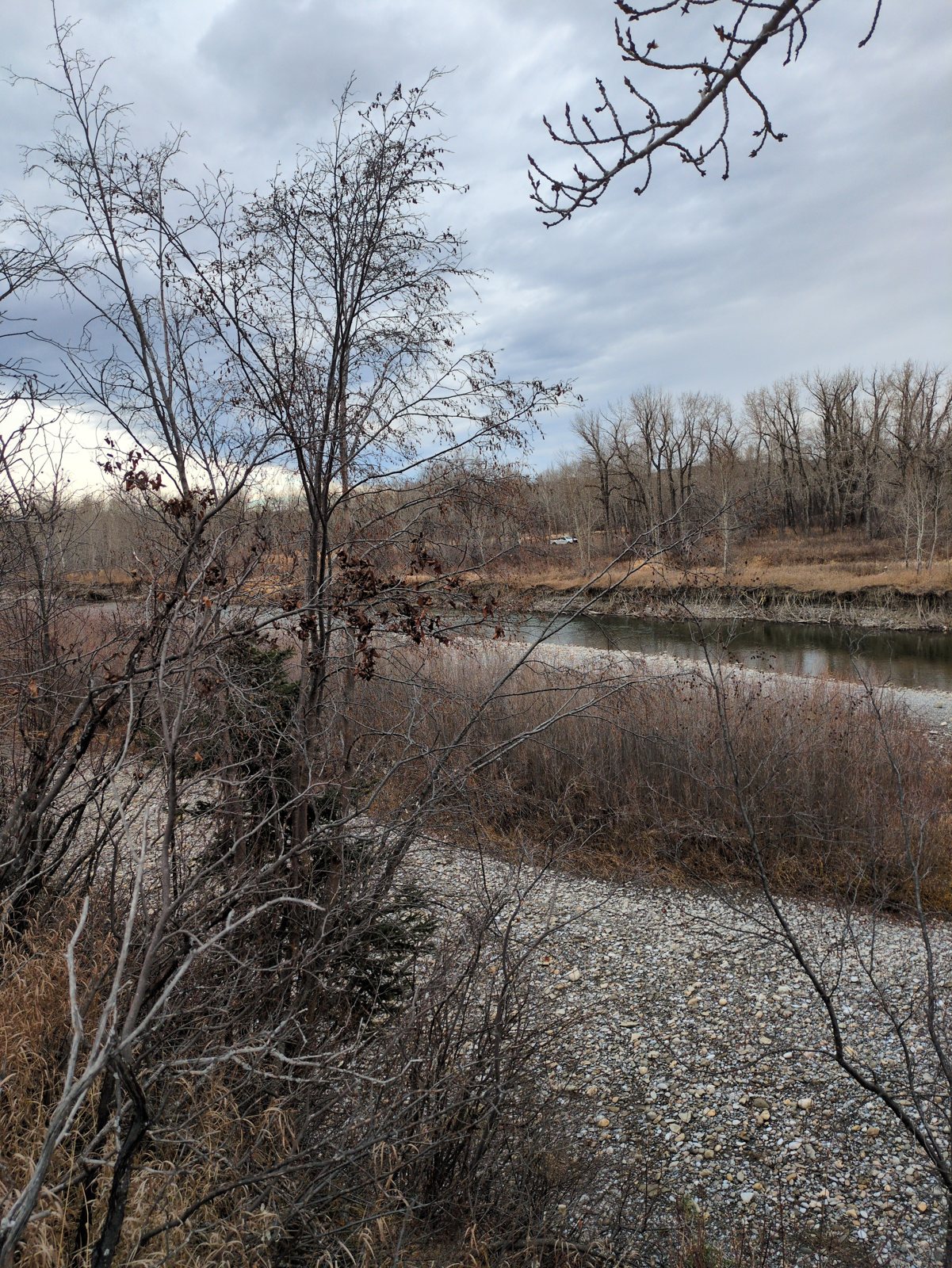
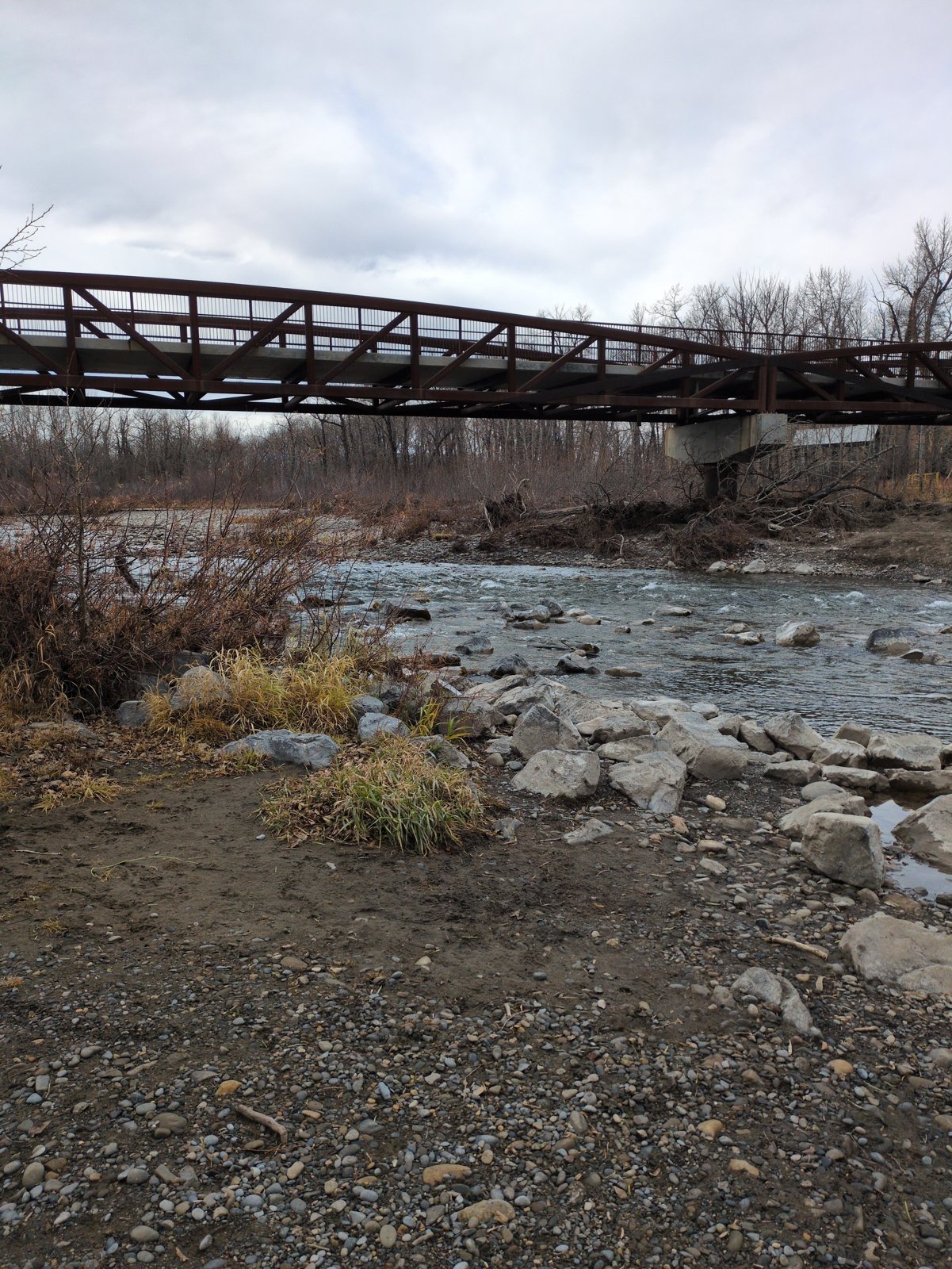
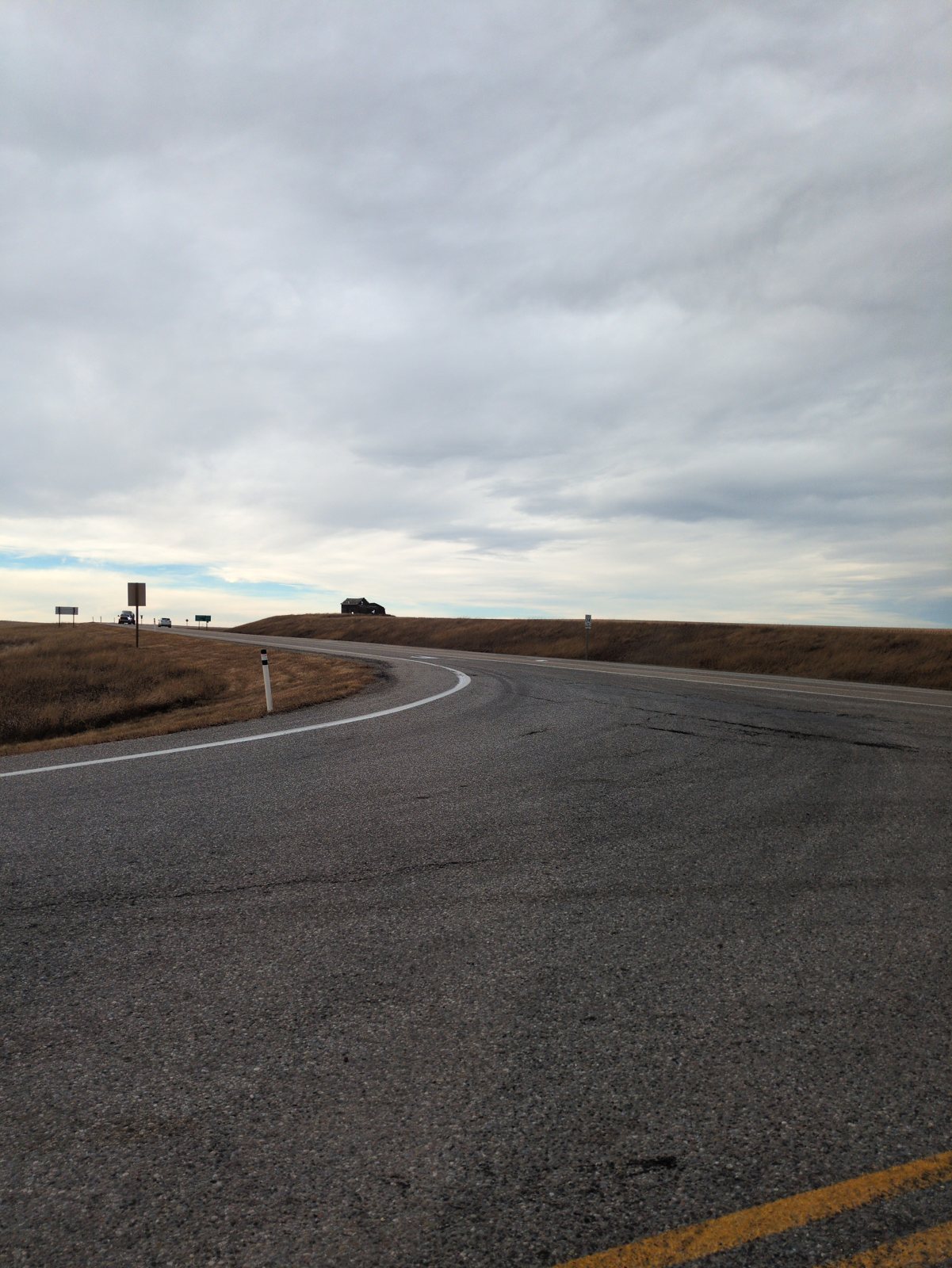
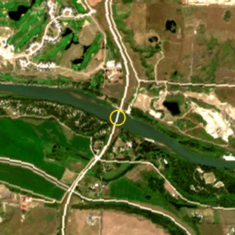
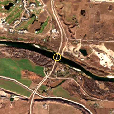
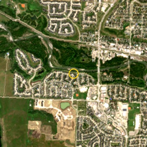
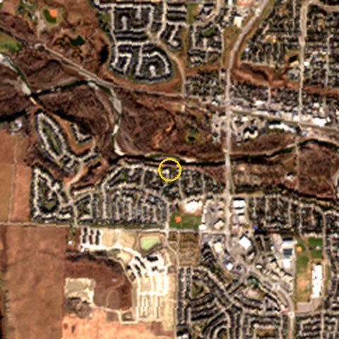
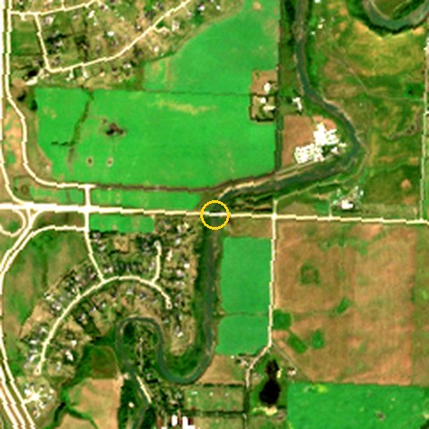
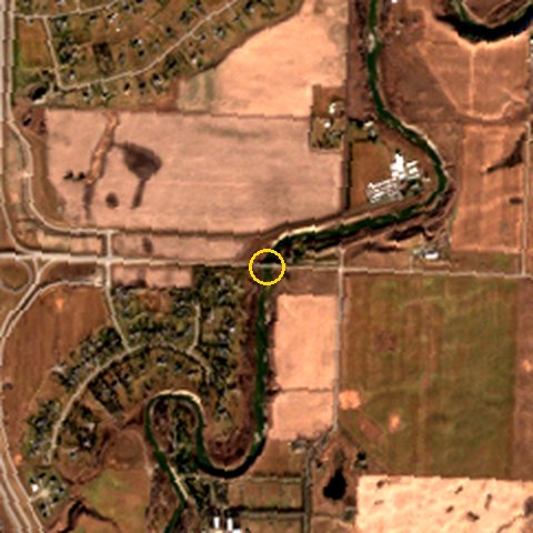
No shore ice anywhere on Nov 10–11. The Sheep River in Okotoks read clear, with easy shore access and no waterfowl. The Highwood at the Hwy 547 bridge was "flowing". The Bow at Carseland was photographed from the bridge approach, because the Wyndham-Carseland day-use gate was closed for the season. That's a finding too: it's the same site Trip 4 sampled in May (slightly turbid, grey, high flow, spring run-off). From orbit, all three rivers carried less open water two days before the trip than in mid-August: Bow -29%, Sheep -58%, Highwood -35%. That's the drop to low winter flow, with more gravel bar showing.
Rogers held on almost everywhere
1,196 signal readings over ~167 km, all on Rogers LTE, with a median of -105 dBm. 160 readings (13%) fell to the dead-zone line (≤ −113 dBm). Most fell one or two at a time. The one real gap is Hwy 547 around 113.70°W, a ~3.5 km stretch about 20 km west of Hwy 24: 17 of 20 readings there were at the line, at a median of -115 dBm. Hwy 547 has only one logged pass. The recorder dropped out westbound (Nov 10, 11:01–11:30), so the two-pass check the trip was planned around can’t be made. Eastbound, its weakest stretch was around 113.70°W at a median of -115 dBm.
A quiet November road
9 tallies over two days: 💀 Roadkill ×2 🏚️ Abandoned bldg ×2 🚧 Construction ×2 🦅 Hawk ×1 🐓 Pheasant/grouse ×1 🦌 Deer ×1. Roadkill was on Hwy 24 and Hwy 547. The construction zone near the Highwood was logged on both days, within 300 m, so it's one repeat-confirmed site, not two. The morning deer was inside Okotoks and is shown to about 1 km.
Ground truth vs the sky
Cloud went Nov 10 10:24 2% cloud → Nov 10 11:20 50% cloud → Nov 11 16:10 100% cloud. There was no snow on the ground and the roads were dry the whole trip. Air quality from the nearest station (Calgary) was AQI 40–56. Every record also logs which Earth-observation satellite was overhead. Most were too low on the horizon to image the spot, which is why the clear Sentinel-2 passes further down come from the days around the trip.
7 photos got a plant ID
Every stop photo was sent through BeachBook's plant identifier. The riverbank stops (Bow, Sheep) came back as cottonwood/balsam poplar with willow over cured grass, which is the riparian strip. The road stops came back as cured verge grass with spruce shelterbelts. In November this is genus/family level, not species. The ID says "low" or "medium" confidence where it means it.
Stop by stop every record
Field brief
Drive mode ON here and leave it on all day — connectivity is captured every ~60 s. 30 km south to Carseland. Log potholes/cracking/washboard with Snap, every roadkill, and count hawks on power poles (rough-legged hawks arrive for winter in November).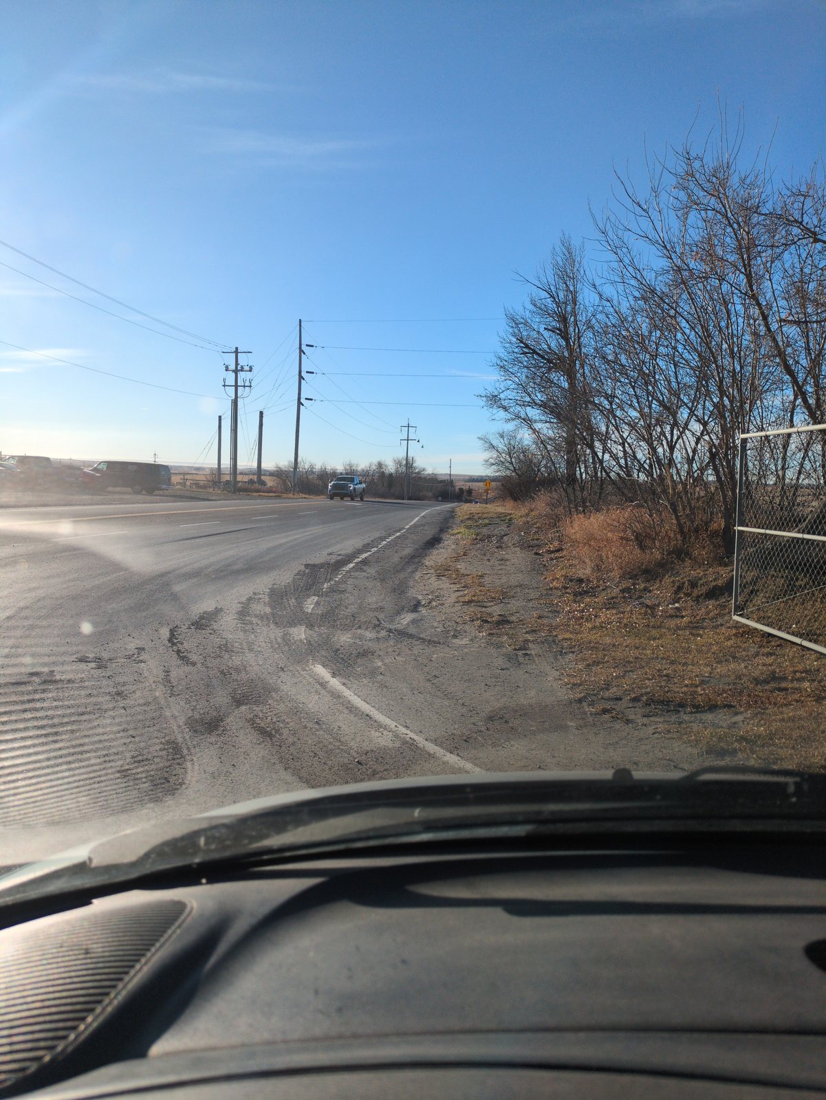
Field brief
Same water site as Trip 4 — a second reading a month later makes it a time series. Park at Wyndham-Carseland park side. Water: clarity, colour, rough level vs the bank, any shore ice, flow. Photo upstream + downstream from the same spot. Geese/ducks/eagles count.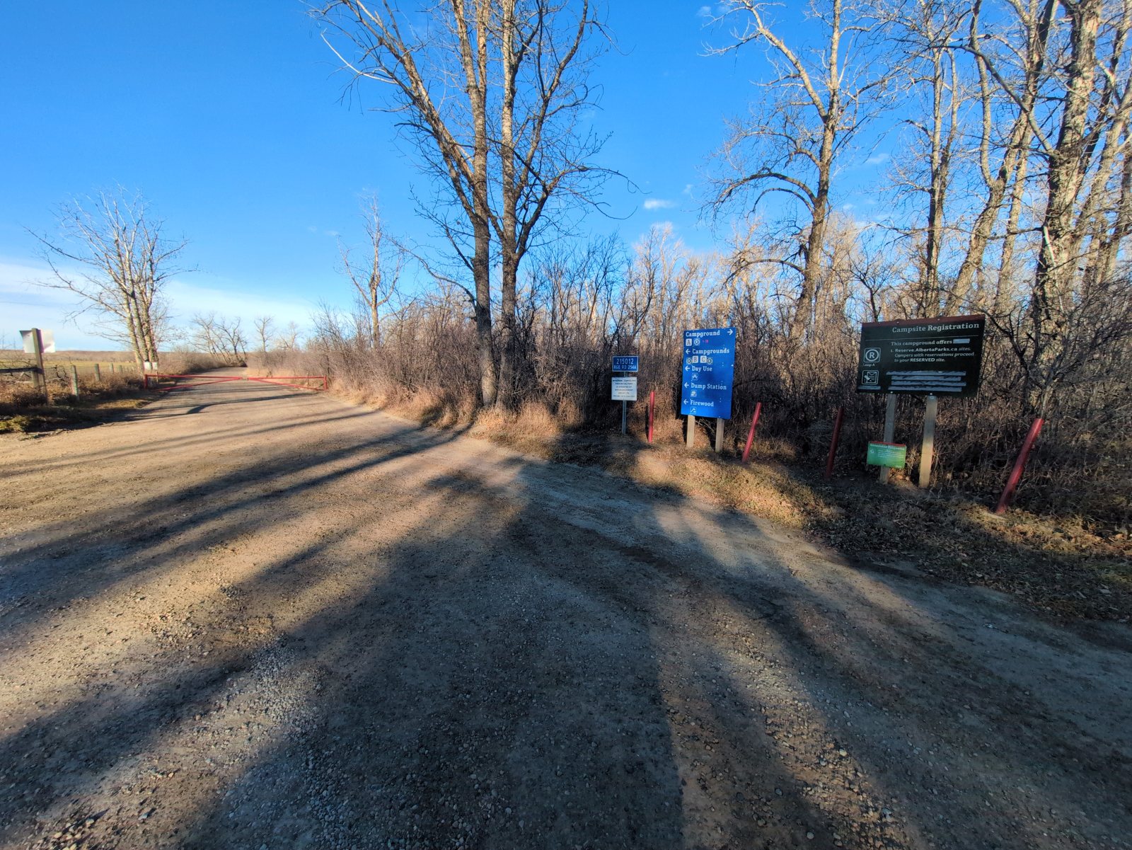
Field brief
28 km west to 128 St E. You drive this road again on the way home — two passes is what makes a dead zone real instead of a one-off. Note where bars drop to zero (Heard/voice note is fine). Raptor + roadkill count.Field brief
7 km of Foothills County road up to Hwy 552. The only true county road on the loop — log surface type (paved/chip seal/gravel), shoulder, any washboard or soft spots.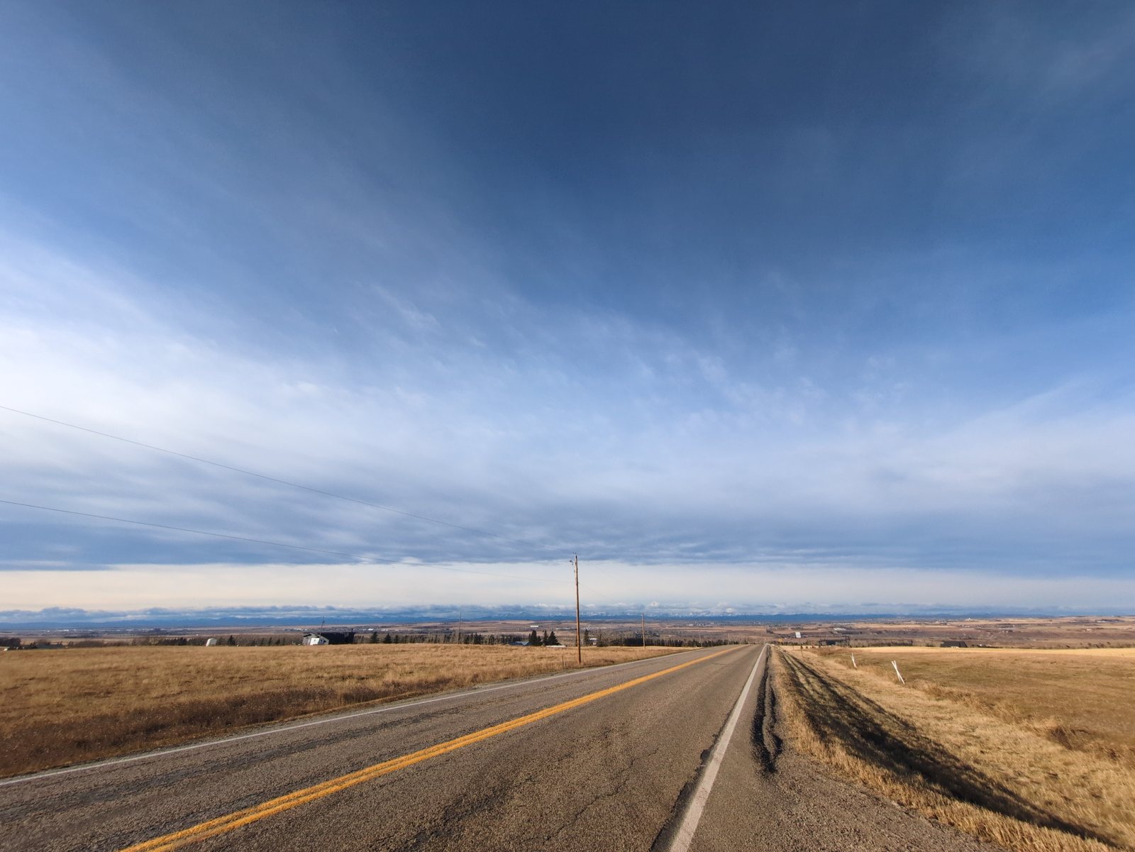
Field brief
Okotoks' water comes from the Sheep River valley and the town has long lived inside a water limit — this is the story stop. Park nearby and walk the river pathway. Water: clarity, colour, level vs bank (gravel bars showing?), shore ice, flow. Photo upstream + downstream. Note any town water/drought signage.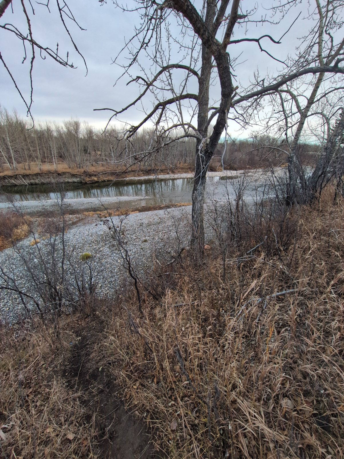
Field brief
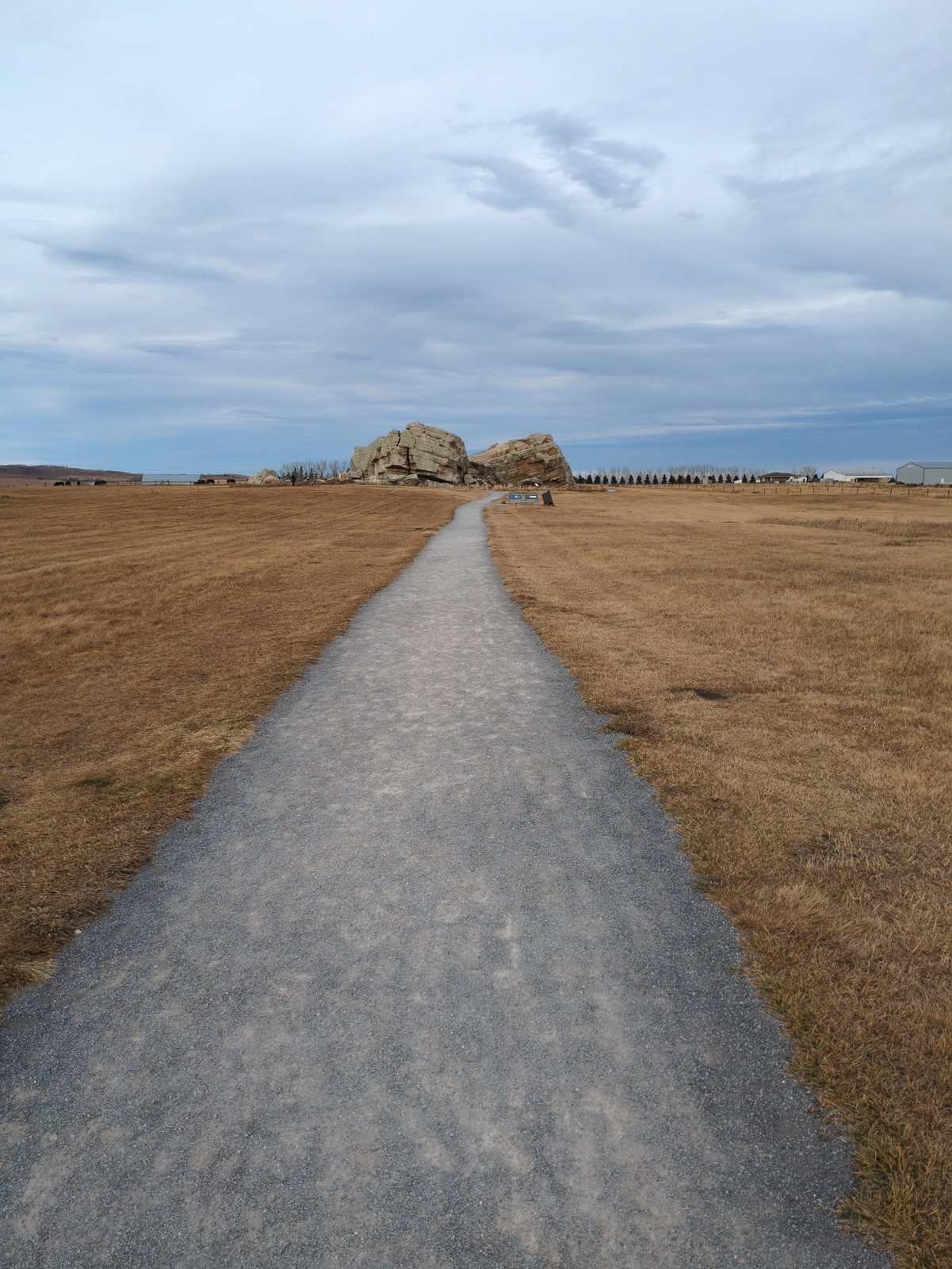
7 km west on Hwy 7, signed lot. Glacial erratic from the Foothills Erratics Train. Photo the whole rock with something for scale, then a close-up of the rock face and snap it with RockID — its bedrock layer should say 'carried in'. Note visitors, trail condition, interpretive signs.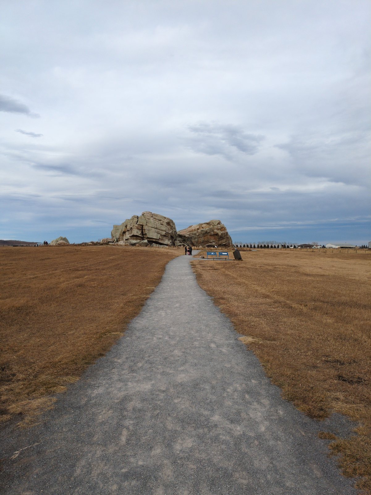
Field brief
Rural bridge, no lot — only stop if there's a safe pull-off; otherwise a photo from a safe approach is fine. Water clarity, level, gravel bars, shore ice. The 2013 flood came down this river; note bank erosion or rip-rap you can see.Field brief
Repeat pass on 547 back to Hwy 24 — same dead zones should show up again. Keep counting raptors/roadkill so the two passes compare.Field brief
Stop Drive mode once home, not before. Then tell Sparky the trip is done and it gets written up as the next example on the Ground Boots page.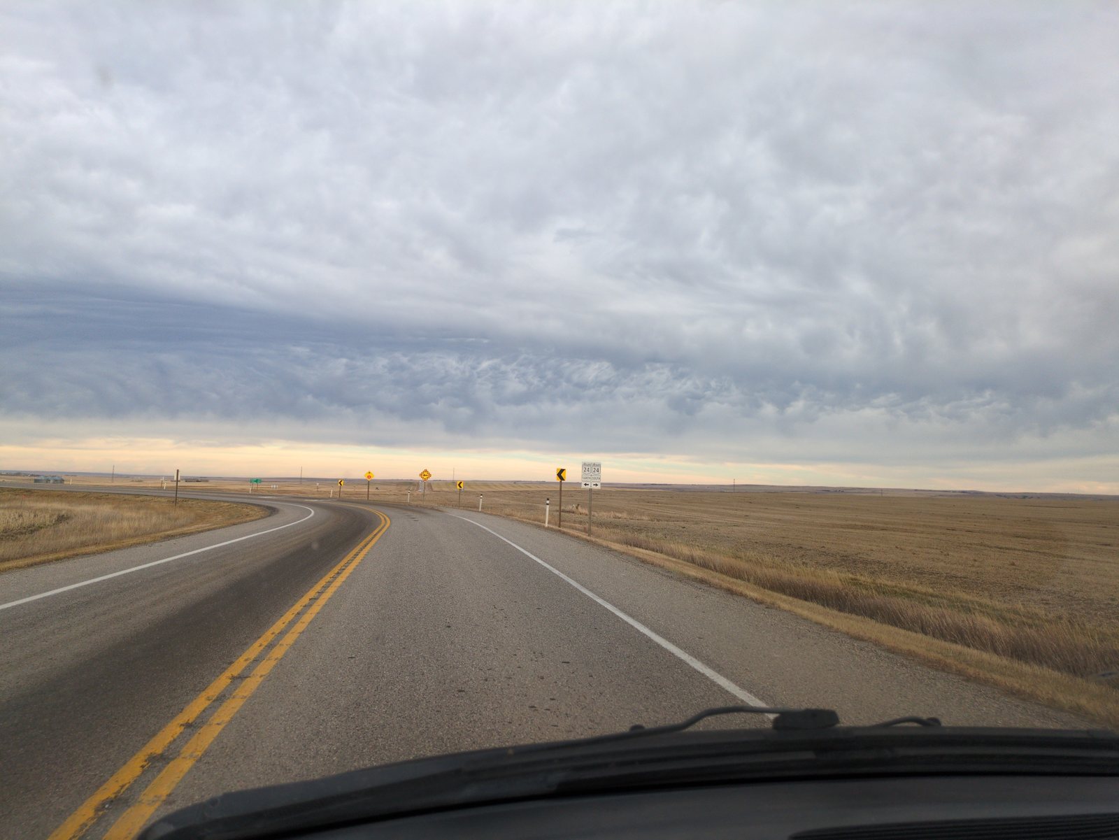
Rivers from orbit Sentinel-2
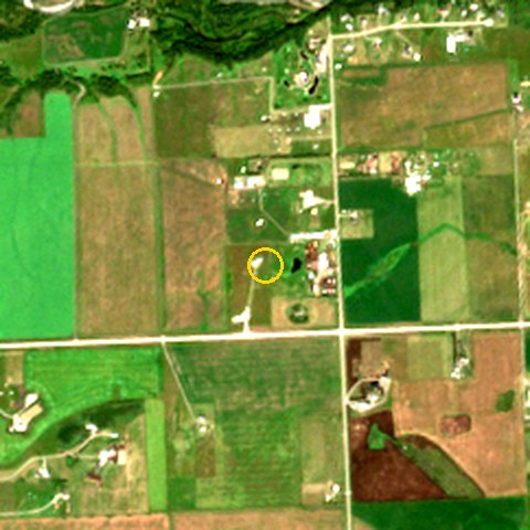
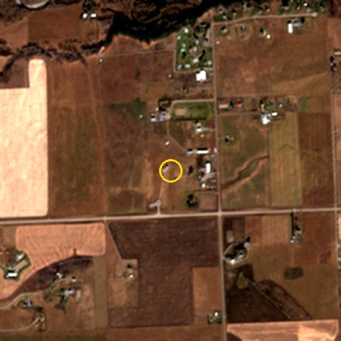
The clearest Sentinel-2 pass in late summer and in the weeks around the trip, 2.4 km square, 10 m true colour, with the stop ringed. Open water is pixels where water out-reflects vegetation (NDWI > 0) on cloud-free ground. It compares a site with itself, not one river with another. Bow: 34.3 ha open water on 2026-08-15 → 24.2 ha on 2026-11-08. Sheep: 9.1 ha open water on 2026-08-15 → 3.8 ha on 2026-11-08. Highwood: 14.1 ha open water on 2026-08-15 → 9.2 ha on 2026-11-08.
Bow River at Carseland
Sheep River, Okotoks
Highwood River at Hwy 547
Big Rock (Okotoks Erratic)
What's under Big Rock RockID geology
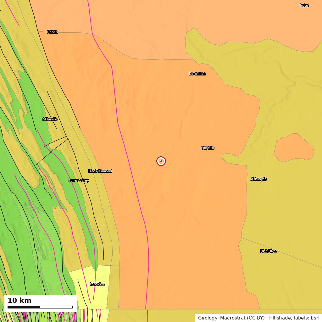
Bedrock: Porcupine Hills Formation: sandstone, siltstone, and mudstone, Paleogene (56–63.5 Ma). Alluvial (river-laid). Source: Prior, G.J.; Hathway, B.; Glombick, P.M.; Pana, D.I.; Banks, C.J.; Hay, D.C.; Schneider, C.L.; Grobe, M.; Elgr, R.; Weiss, J.A. Bedrock Geology of Alberta. AER/AGS Open File Report 2013-02.
Below it (regional column, approximate): about 1.5 km of Porcupine Hills sandstone. Then Cretaceous river and inland-sea shales, including the Bearpaw, the last sea over this ground. Then Mississippian limestone at roughly 5 km and Precambrian basement at around 7 km.
On top: Laurentide glacial drift. Loose stones here are usually carried in. Big Rock is the extreme case.
Maps: Macrostrat geology over Esri hillshade, ~50 km across. Orange is Porcupine Hills sandstone; the green and yellow bands to the west are the folded Foothills. Fossil, mineral and earthquake records within range are in RockID's "What's under you" page.
Signal by section Rogers LTE
| Section | Day | Readings | Median | Worst | Dead |
|---|---|---|---|---|---|
| Hwy 817 / Hwy 24 (Wheatland) | Nov 10 | 309 | -103 dBm | -124 dBm | 29 |
| Hwy 547 | Nov 10 | 12 | -108 dBm | -118 dBm | 3 |
| 128 Street E / Hwy 2A (Foothills County) | Nov 10 | 35 | -96 dBm | -116 dBm | 3 |
| Hwy 7 to Big Rock | Nov 11 | 108 | -104 dBm | -123 dBm | 12 |
| 128 Street E / Hwy 2A (Foothills County) | Nov 11 | 68 | -106 dBm | -124 dBm | 8 |
| Hwy 547 | Nov 11 | 179 | -109 dBm | -124 dBm | 55 |
| Hwy 817 / Hwy 24 (Wheatland) | Nov 11 | 205 | -107 dBm | -131 dBm | 45 |
| Hwy 547 (west→east) | Pass 1 · Nov 10 | Pass 2 · Nov 11 |
|---|---|---|
| 113.85°W | — | -104 dBm n=2 |
| 113.80°W | — | -107 dBm · 1 dead n=21 |
| 113.75°W | — | -103 dBm n=20 |
| 113.70°W | — | -115 dBm · 17 dead n=20 |
| 113.65°W | — | -112 dBm · 6 dead n=20 |
| 113.60°W | — | -110 dBm · 9 dead n=21 |
| 113.55°W | — | -109 dBm · 4 dead n=20 |
| 113.50°W | — | -111 dBm · 9 dead n=20 |
| 113.45°W | — | -107 dBm · 3 dead n=20 |
| 113.40°W | -108 dBm · 3 dead n=12 | -111 dBm · 6 dead n=15 |
Dead zone = −113 dBm or worse, or no data connection. Okotoks town streets are left out of the table.
Tallies one-tap widget
| What | When | Where | Speed | GPS |
|---|---|---|---|---|
| 🦅 Hawk | Nov 10 10:33 | Hwy 817 / Hwy 24 (Wheatland) | 101 km/h | ±4 m |
| 🐓 Pheasant/grouse | Nov 10 10:39 | Hwy 817 / Hwy 24 (Wheatland) | 96 km/h | ±4 m |
| 💀 Roadkill | Nov 10 10:56 | Hwy 817 / Hwy 24 (Wheatland) | 107 km/h | ±5 m |
| 🏚️ Abandoned bldg | Nov 10 11:00 | Hwy 547 | 83 km/h | ±4 m |
| 💀 Roadkill | Nov 10 11:08 | Hwy 547 | 104 km/h | ±5 m |
| 🏚️ Abandoned bldg | Nov 10 11:16 | Hwy 547 | 104 km/h | ±6 m |
| 🚧 Construction | Nov 10 11:24 | 128 Street E / Hwy 2A (Foothills County) | 67 km/h | ±7 m |
| 🦌 Deer | Nov 11 08:56 | Okotoks streets | 0 km/h | ±79 m |
| 🚧 Construction | Nov 11 15:46 | 128 Street E / Hwy 2A (Foothills County) | 70 km/h | ±9 m |
What went wrong, and what's left out
- Road roughness isn't reported. The phone was on a fixed dash mount the whole drive, but the app counted "Google Maps on screen" as the phone being held, so 1,055 of 1,196 drive readings were wrongly flagged hand-held and their roughness was dropped. Fixed in Ground Boots v1.61; the raw readings are still on the phone and can be re-scored.
- Bow River photos were rescued. Android closed the app while the camera was open, and the two Carseland shots were recovered from the phone the next day and placed by the drive track (11 s from the nearest fix). Fixed in Ground Boots v1.57.
- RockID was refused at the rock. The shared Claude quota gate was full at 15:21. The identification ran an hour later from the same photos.
- Stop 6 was briefly mis-filed. A free-collect at the Sheep River was saved as "Big Rock", then deleted and redone at the rock. Only the corrected record is here.
- Hwy 547 pass 1 has no signal readings. Android closed Ground Boots at stop 3 on Nov 10 at 11:02 and the drive recorder did not restart until 11:30, the whole westbound pass. The tally widget kept GPS through it, and both of that pass's tallies are on the map. Ground Boots v1.61 restarts the recorder itself after that happens.
- Masked for privacy: 151 drive readings within 3 km of a private address and around the overnight stay in Okotoks aren't drawn. They still count in the totals.
Data
Same report, same raw data, your stops.
Build a trip → · About Ground Boots